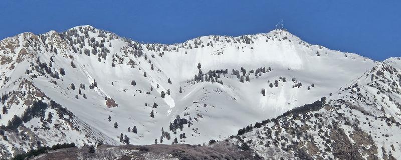
Forecast for the Ogden Area Mountains

Nikki Champion
Issued by Nikki Champion on
Monday morning, April 7, 2025
This morning, the overall avalanche danger is LOW, and Normal Caution is advised. However, due to a poor overnight refreeze and a bump in temperatures, expect the danger to rise to MODERATE by midday on slopes facing east, south, and west. As the sun softens the snow, conditions may become unstable—especially on steep, sunlit terrain.
Keep an eye on changing conditions throughout the day. Once the snow turns wet and unsupportable on sunny slopes, it’s a good time to move to cooler, shadier aspects. Give cornices plenty of space—these large overhangs can break farther back than expected and may trigger slides on the slopes below.
Low
Moderate
Considerable
High
Extreme
Learn how to read the forecast here
Special Announcements
Motorized Users—Please consider taking this 5-minute survey to help researchers better understand avalanche education participation and safety preparedness. Responses are anonymous and confidential.
Weather and Snow
This morning in the Ogden mountains, skies are clear and temperatures range from the low to upper 30s °F. Winds are blowing from the east-southeast at 10–20 mph across most mid-elevation slopes. Along the highest ridgelines, winds are slightly stronger, averaging 20–25 mph with gusts up to 30 mph.
Today will be another beautiful day, beginning with sunshine and gradually increasing high clouds through the afternoon. Temperatures will warm quickly, reaching the upper 40s to low 50s °F. Winds will shift to the west-southwest and increase throughout the day. Gusty southwesterlies will build ahead of a passing trough that will brush northern Utah this evening and overnight. While this system will briefly stall the warming trend, no measurable precipitation is expected. Expect mid-elevation ridgelines to see winds averaging 10–25 mph, with gusts into the 40s on the highest peaks.
Yesterday’s warmth and strong sunshine melted the surface snow on all sunny aspects and lower elevations, leaving behind a stout crust this morning. However, many riders still found excellent conditions on shady, mid and upper-elevation slopes. Some soft snow lingers in those areas, but each warm day continues to chip away at it.
Recent Avalanches
Derek DeBruin snapped a photo of wet avalanche activity on the southwest side of Mount Ogden (Photo Below).
Ad
Avalanche Problem #1
Wet Snow
Type
Location
Likelihood
Size
Description
With a poor overnight refreeze and another round of strong sunshine and warming temperatures, we can expect the daily cycle of melt-freeze on sunny aspects to continue. Remember, if the snow is becoming damp or unsupportable and you're seeing roller balls on any aspect or elevation, it's time to get out of there.
Plan your exits today and remember the aspects above you can be cooking in the sun while you're in the shade below. Wet snow avalanches can run long distances and pile up deeply in gullies and other terrain traps.
Avalanche Problem #2
Normal Caution
Type
Location
Likelihood
Size
Description
Aside from wet snow concerns, the snowpack is generally stable, and both natural and human-triggered avalanches are unlikely. "Normal Caution" applies when conditions are broadly safe and no specific avalanche problem dominates.
This doesn't mean green-light conditions—continue to assess snow and weather as you travel. Terrain choice still matters, especially in isolated areas where you may encounter:
  • New Snow: Sluffing or shallow soft slabs in recent storm snow. Use slope cuts and limit exposure.
  • Wind-Drifted Snow: Light winds lately, but watch for fresh drifts. Rounded pillows that crack or collapse signal instability.
  • Cornices & Roof Avalanches: Still a real hazard—give them a wide berth from all angles.
General Announcements
This information does not apply to developed ski areas or highways where avalanche control is normally done. This forecast is from the U.S.D.A. Forest Service, which is solely responsible for its content. This forecast describes general avalanche conditions and local variations always occur.