
Observer Name
Ted Sroggin
Observation Date
Wednesday, February 24, 2016
Avalanche Date
Sunday, February 21, 2016
Region
Uintas » Bear River Ranger District » Gold Hill
Location Name or Route
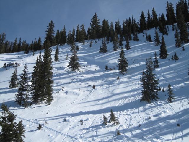
Gold Hill Basin
Elevation
10,000'
Aspect
Northwest
Slope Angle
40°
Trigger
Snowmobiler
Trigger: additional info
Unintentionally Triggered
Avalanche Type
Hard Slab
Avalanche Problem
Persistent Weak Layer
Weak Layer
Depth Hoar
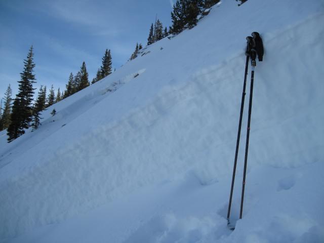
Depth
3.5'
Width
100'
Vertical
150'
Comments
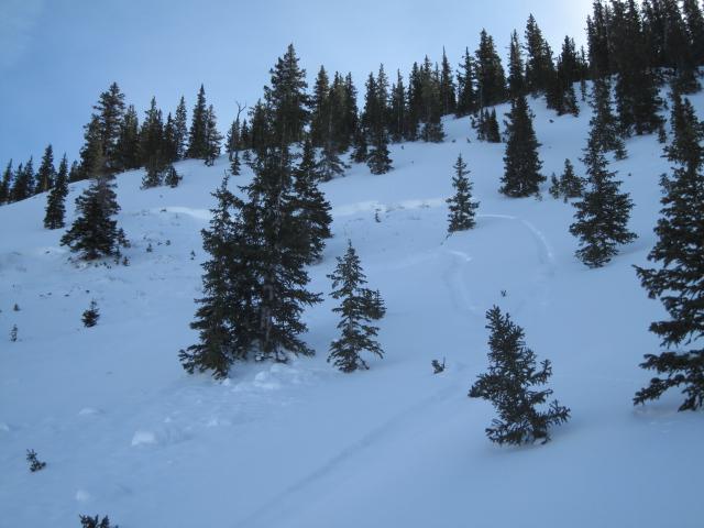
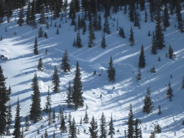
1. The uphill tracks on the right flank where one rider crossed the slope and found the weak spot and collapsed the slope.
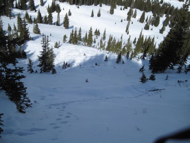
2. This site has had numerous close calls and unfortunately a fatality last season. One of the real dangers here is the debris stops on the bench below
and piles up quickly.
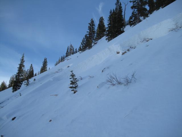
3. Only about three and half feet of snow at this location where shallow weak sugary snow develops.
4. This avalanched to the ground.
Comments
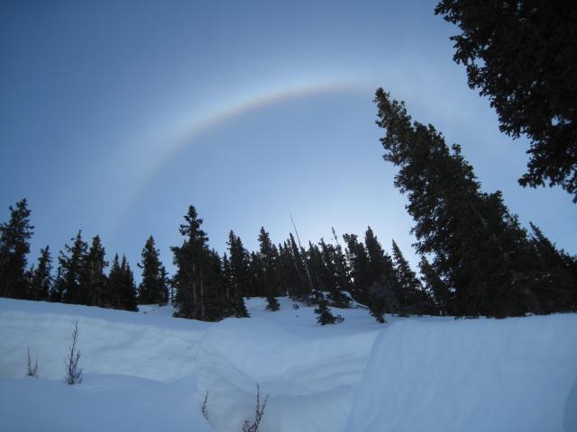
1. A nice sun dog over the ridge.
2. This slope is on a northwest aspect around 10,000' and about 40 degrees in steepness.
3. It was a hard slab avalanche, with a 1 finger slab on top of still well developed facets at the ground interface.
Video
Coordinates