Forecast for the Moab Area Mountains

Issued by Eric Trenbeath on
Wednesday morning, April 9, 2025
Wednesday morning, April 9, 2025
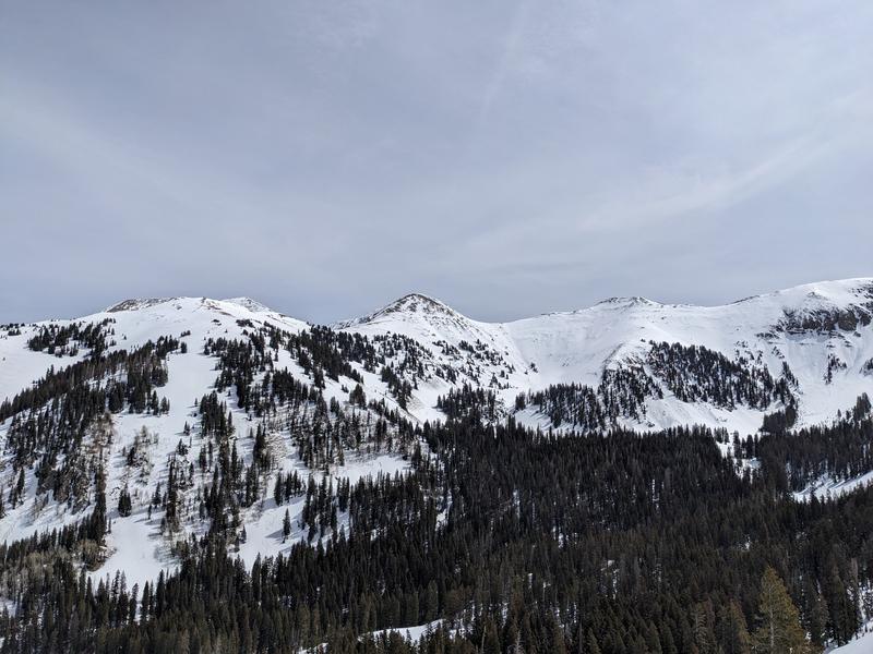
Most terrain has generally LOW danger. Small avalanches on isolated terrain features are possible. Even a small avalanche can have serious consequences in extreme terrain.
As the day heats up we may see some small loose wet avalanches on sun exposed slopes. Signs of instability include rollerballs, pinwheels, and sloppy wet snow. Stay off of and out from under steep slopes when these signs are present.
Our long standing persistent weak layer problem is generally non-reactive and people are skiing all kinds of terrain without incident. Weak faceted snow still remains on upper elevation, northerly aspects however, and cautious mountain travelers will continue to avoid likely trigger points such as shallow rocky starting zones, thin steep convexities, and areas of very radical, extreme terrain.

Low
Moderate
Considerable
High
Extreme
Learn how to read the forecast here