Forecast for the Logan Area Mountains

Toby Weed
Issued by Toby Weed on
Saturday morning, April 5, 2025
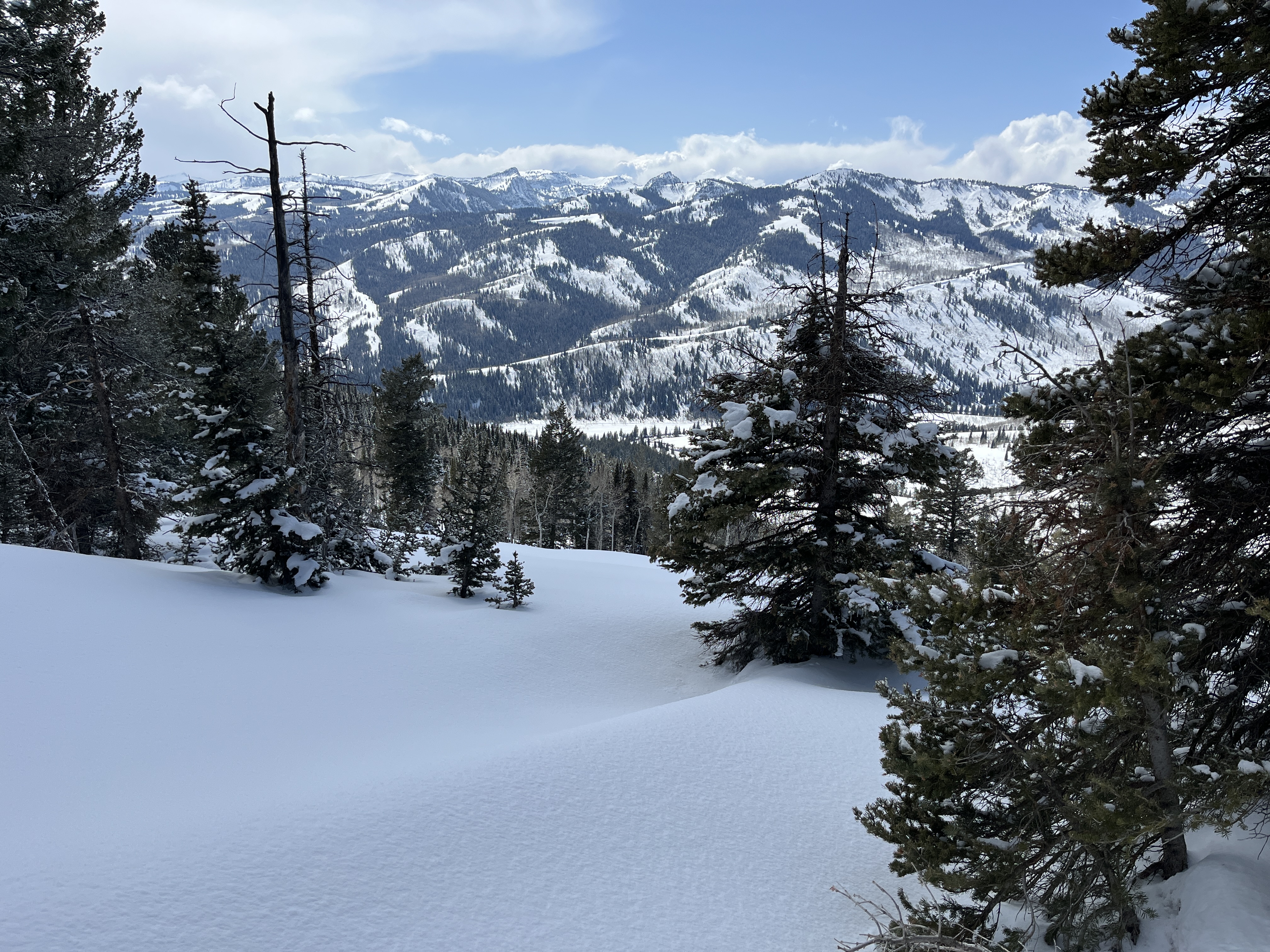
The snow is stable on most slopes, and the avalanche danger is LOW this morning. However, the strong April sun will elevate the threat of shallow, loose, wet avalanches entraining saturated surface snow on sunny slopes, and large cornice falls are possible. The danger will likely rise to MODERATE in sunny terrain by early afternoon, with wet avalanches possible on slopes steeper than 30 degrees.
Use normal caution; follow safe travel protocols by exposing only one person at a time to avalanche risk. Avoid being on or under cornices and steep slopes with saturated surface snow, especially those above trees or other terrain traps.
Low
Moderate
Considerable
High
Extreme
Learn how to read the forecast here
Special Announcements
Riders—Please consider taking this 5-minute survey to help researchers better understand avalanche education participation and safety preparedness. Responses are anonymous and confidential. Thank you!
Weather and Snow
We've found excellent powder conditions and good snow stability in the Bear River Range this week, with new snow depth increasing significantly with elevation. Thanks to cool temperatures and clouds, we found pockets of nice powder in north-facing terrain and deep trees in the Beaver Mt backcountry yesterday. On all other slopes, we found challenging surface melt-freeze crusts of variable thickness. Much warmer temperatures and sunny skies are expected today, and the high-angled April sun will elevate the danger of shallow, wet avalanches on sunny slopes.
Although there is still 8 feet of snow up high in the Central Bear River Range, most low-elevation terrain (below about 7000 feet) in the Logan Zone is completely melted off or has only very shallow, spotty coverage.
We found very nice powder conditions in the Bear River Range this week.

The Tony Grove Snotel at 8400 feet reports 19° F, with an inch of new snow and 96 inches of total snow, (106% of normal SWE for the date). It's 18° F at the Card Canyon weather station at 8800 feet, and there is 2 inches of new snow with 75 inches total.
At 9700 feet at CSI's Logan Peak Wx station, winds are blowing from the north 12 to 17 mph, and it's 16° F. The winds on Paris Peak at 9500 feet are blowing lightly from the north-northeast, and it's 17° F.

Here is the National Weather Service point forecast for the Naomi Peak area:
Today: Sunny, with a high near 38. Wind chill values as low as 8. East wind 7 to 10 mph becoming northwest in the afternoon. Tonight: Mostly clear, with a low around 23. Northwest wind 5 to 9 mph becoming light west northwest after midnight. Sunday: Sunny, with a high near 42. Light west northwest wind becoming west 8 to 13 mph in the afternoon.
Very nice, sunny, and fair weather is expected through the weekend and Monday, with a chance of snow showers Monday night and Tuesday. A strong high-pressure system will set up over the region next week, and we will see continued dry conditions with a steady warming trend in temperatures.

For more information, visit the UAC weather page here: Weather - Utah Avalanche Center
For Logan-specific weather, go here: Logan Mountain Weather - Utah Avalanche Center
Recent Avalanches
There were a number of human-triggered avalanches this week in the Wasatch Range. see reports HERE
Locally, there were numerous small natural avalanches of storm snow during the storm on Tuesday, and an observer reported a few small loose wet avalanches in the Mt Naomi Wilderness on Thursday.
Read about all avalanches and observations HERE.
Ad
Avalanche Problem #1
Cornice
Type
Location
Likelihood
Size
Description
  • Human-triggered avalanches of stiffer wind-drifted snow are possible on steep slopes near ridgelines and in and around terrain features like cliff bands, gully walls, and sub-ridges. Cracking is a sure sign of instability.
  • Avoid being on or underneath overhanging cornices, as they can break back much further than expected and could trigger avalanches on slopes below.
Avalanche Problem #2
Wet Snow
Type
Location
Likelihood
Size
Description
The danger of shallow wet avalanches will rise with the temperatures today. As the surface crusts soften and the snow gets slushy or sticky, human-triggered and natural loose wet avalanches entraining this week's new snow are possible on steep sunny slopes.
  • Pay attention to potential terrain traps below you, like trees, cliffs, or gullies, that a small avalanche might carry you into.
  • Avoid being under steep slopes with saturated surface snow.
Additional Information
Here is a scary video from yesterday (4-4-25) in the Provo Area Mountains. Don't underestimate the potential of wet avalanches; avoid and stay out from under steep slopes with saturated snow in the heat of the day.
General Announcements
-National Forest Winter Recreation Travel Maps show where it's open to ride: UWCNF Logan, Ogden LRD Tony Grove, Franklin Basin CTNF Montpelier
-For all questions on forecasts, education, Know Before You Go, events, online purchases, or fundraising, call 801-365-5522.
-Remember the information you provide could save lives, especially if you see or trigger an avalanche. To report an avalanche or submit an observation from the backcountry, go HERE.
-Receive forecast region-specific text message alerts to receive messages about changing avalanche conditions, watches, and warnings. Sign up and update your preferences HERE.
-We are excited to announce the launch of our new mobile application available on both Android and IOS. Get all the information you need to plan your backcountry adventure and keep the information at the tip of your fingers while you are out. Install the Android version HERE and the IOS version HERE.

This forecast is from the U.S.D.A. Forest Service, which is solely responsible for its content. This forecast describes general avalanche conditions, and local variations always occur.