Forecast for the Abajos Area Mountains

Issued by Eric Trenbeath on
Monday morning, December 9, 2019
Monday morning, December 9, 2019
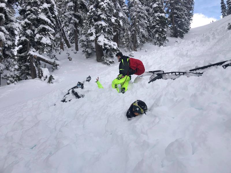
An isolated or MODERATE avalanche danger exists on steep, upper elevation slopes that face NW-N-E that have recent deposits of wind drifted snow. There is also a layer of moderately weak, sugary snow developing at the base of the snowpack. Though unlikely, it may be possible to trigger an avalanche on this weak layer on steep, northerly facing slopes. Most other terrain offers LOW danger.
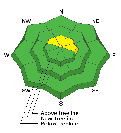
Low
Moderate
Considerable
High
Extreme
Learn how to read the forecast here